Everything for soil investigation and structural controls

Exploring Underground LTD offers a wide range of services and solutions in the fields of geology,
hydrogeology, survey activities, and forecasting through custom-developed models. 

Mobirise Website Builder

About us

Exploring Underground LTD is a company that operates in the fields of Geology and geotechnics, Network Services, GIS, Remote Sensing, and, more generally, in areas related to earth sciences. We cover all customer needs, from field surveys to laboratory testing, design, and the development of mathematical models, thanks to our research and development division.

Services

Services offered by Exploring Underground LTD. 
Mobirise Website Builder
Soil Investigation

Soil investigation is the process of gathering information about the geological, physical and geotechnical properties of the soil in order to analyze, design and choose a foundation for the construction designs. It's an essential operation in civil engineering that provides the necessary data for safe and cost-effective construction. 

Mobirise Website Builder
Topographical Surveys

Measuring and mapping land elevations are key to future building development and essential for land administration and management. Exploring Underground Ltd produces accurate site surveys for various clients, including planners, architects, geological applications (landslide monitoring, geostructural surveys, diagnostic and structural controls, etc.), designers, and developers, providing high-quality topographical surveys for the design and future development of projects.

Mobirise Website Builder
Laboratories

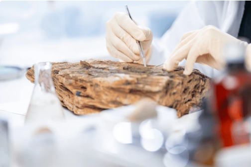
In our laboratory, we analyze  soils, measure the chemical-physical properties of core samples, calibrate our models, and validate sensor data. We detect contaminants and determine their propagation times.

Mobirise Website Builder
Mathematics

We develop mathematical models using AI,  finite volume methods and F.E.M. techniques. We apply our models in various fields, including hydrogeology and landslide risk. Our innovations include Cellular Automata, Ensemble Neural Networks, and Smoothed Particle Hydrodynamics.

Mobirise Website Builder
GIS And R. S.

We process a wide range of GIS and Remote Sensing data  using both open-source  proprietary software. We have many years of experience handling complex legacy data from various organizations.

Mobirise Website Builder
Courses

We organize courses on the use of GIS and Remote Sensing tools, including software development, AI, and Spatial RDBMS. We promote geology-related topics and provide scientific support and expertise to companies and public organizations.

Mobirise Website Builder
Collaborations

We have numerous collaborations with ITC companies and universities. Our company has always been committed to building a network of actors with synergistic expertise. Our research and development team benefits from the consultancy of various research institutions. 

Contacts

Get in touch
Our Clients
Mobirise Website Builder

Geologists

Mobirise Website Builder